Episode #040: Megaflood Appalachian Boulder Fields

Scoured valleys in the Appalachians are filled with cobbles and boulders that tell a specific and catastrophic story. Giant boulder deposits, imbrication. Excellent gateway that dabbles into our forthcoming multi-episode journey into megafloods!

The Legend of Jeremy and Sasquatch

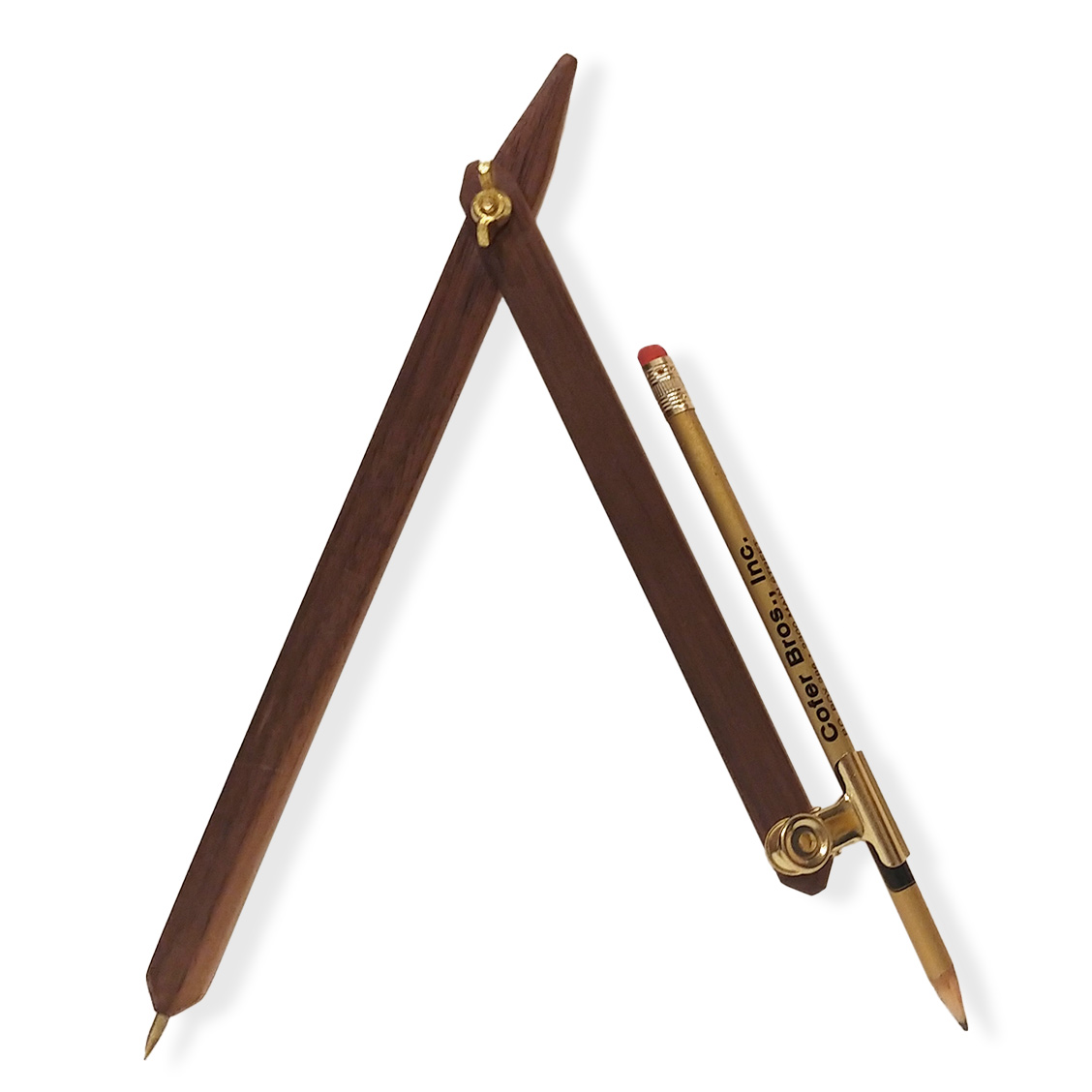
Geologic explorations with RC; along for his 1st Carolina Bay overflight; designing drawing compasses; was always barefoot!

Expand All | Collapse All | Report Abuse

Featured Products For This Video

Shop for the products you need/found in this video

Additional Information

Related links, images and relevant information involving this howtube video.

We talk more about the curious character Jeremy, and his role in the past few decades of knowing RC – geologic explorations and his first Carolina Bay overflight, debating Sasquatch and designing drawing compasses – until his recent disappearance into the Pacific Northwest.

Multiple adventures into the Appalachians revealed scoured valleys, filled with cobbles and boulders that tell a specific and catastrophic story that most are blind to their signatures and presence. With examples of giant boulder deposits, RC instructs about imbrication and then more into scale-invariant features like sand bars and current ripples, culminating with a few examples of what we’ll see during the fall Scablands tours. An excellent gateway that dabbles into our forthcoming multi-episode journey into megafloods!  


Support Randall Carlson's efforts to discover and share pivotal paradigm-shifting information! Improve the quality of the podcast and future videos. Allow him more time for his research into the many scientific journals, books, and his expeditions into the field, as he continues to decipher the clues that explain the mysteries of our past, and prepare us for the future...


Donate to this work thru his Patreon subscription/membership site, and receive special perks: https://patreon.com/RandallCarlson Or make a one-time donation thru PayPal, credit/debit card or other account here:  https://www.paypal.com/cgi-bin/webscr?cmd=_s-xclick&hosted_button_id=8YVDREQ9SMKL6&source=url


Podcast G-crew email: Kosmographia1618@gmail.com

Info on upcoming trips with Randall and the crew: TOURS@RandallCarlson.com

Offer your time/services/accommodations here: VOLUNTEER@RandallCarlson.com

Add to the expanding library of evidence here: RESEARCH@RandallCarlson.com


Small class lectures "Cosmography 101" from '06-'09 on Brad's original channel: https://youtube.com/geocosmicrex


Full listing of scientific papers about the Younger Dryas Impact Hypothesis: https://cosmictusk.com 


Kosmographia logo and design animation by Brothers of the Serpent. Check out their podcast: http://www.BrothersoftheSerpent.com/

Theme music “Deos” by Fifty Dollar Dynasty: http://www.FiftyDollarDynasty.net/

Video recording, editing and publishing by Bradley Young with YSI Productions LLC (copyrights), with audio mastered by Kyle Allen.

Open

Comments

Comment on this video

Login to comment
's Channel
LOGIN REQUIRED
All Comments: (2)
  • Holy Moly. I remember camping as kid with my family near Southern California creeks with huge boulders like those Randall is showing as samples of imbrication. Just trying to wrap my head around this process: It sounds as if Every One of the Boulder Runs represents the FINAL "capstone" stage of a sequence that BEGAN with the Scouring of the valley by a Titanic Flood, similar to the floods that formed the "Scablands" of the Pacific Northwest. This implies that whatever ecosystem existed BEFORE the flooding -- trees, shrubbery, critters, topsoil, sub-soil, earthworms, humans and their dwellings, flint-knapped spear tips, flint, chert, obsidian bits, atlatls, pet mammoths, potsherds -- ALL of it, would have been carried away, transported eventually to the ocean, to be deposited as a VAST alluvial fan (Think of the sprawling Nile or Mississippi Deltas) at the mouth of whatever River these creeks and rivers feed into. So the Boulders were Scoured/Torn from the mountain rock faces, and entrained in the flood, with smaller fragment, sand & mud... But the boulder fields are the material scoured from the highest elevations of the distant mountains, and would arrive at the end, southern cousins of the Huge Erratics like the thousand-plus-ton Okotoks Quartz Randall used as a backdrop several times. Owoo. Got Stretchmarks on my brain.
    reply
  • It might be illuminating to do a survey of such "boulder RUNS" and identify similarities among the Runs --- total volume, character of the rock shapes (i.e., sharp un-weathered edges & faces versus rounded), distance from source, gradient of original path, et cetera. If they could be dated using several methods, might be helpful to know if the RUNS are all from a Particular MOMENT in Pre-history... For instance, are these RUNS ANOTHER Depositional event occasioned by the Younger Dryas Catastrophe SEQUENCE??? ����� the revelations of additional Jeremy Tales ---> Pretty certain any governing Statute of Limitations has expired by now...����� There are many landslides in mountainous areas in which stones of all sizes and shapes speed several thousand feet down an uninterrupted slope. In a situation with so much opportunity for acceleration the mass often spreads several kilometers horizontally across a wide valley and then runs up the opposite slope many hundreds of feet. Scientists who have studied these rock slides figure that the mass rides on a cushion of air captured in the long slide... The air cushion raises the rocks above the terrain enough to prevent interaction / friction between the traveling rocks and the terrain below. ������ If the nearby mountains had steep enough slopes at the time of the slides, this might explain the long run-out. Would these have been at the end of the Younger Dryas???
    reply
Press Esc to close

HOWTUBE CONTACT FORM

Press Esc to close
Press Esc to close